Services
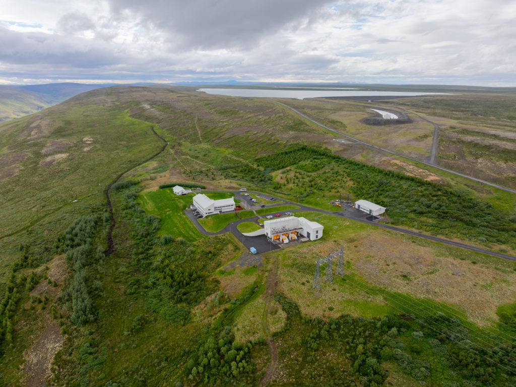
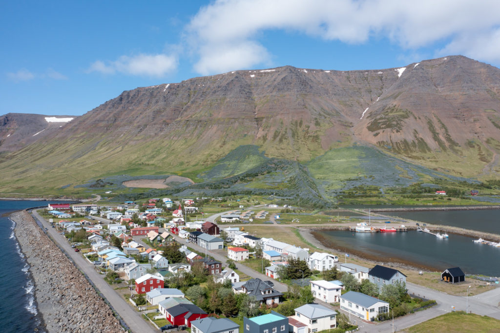
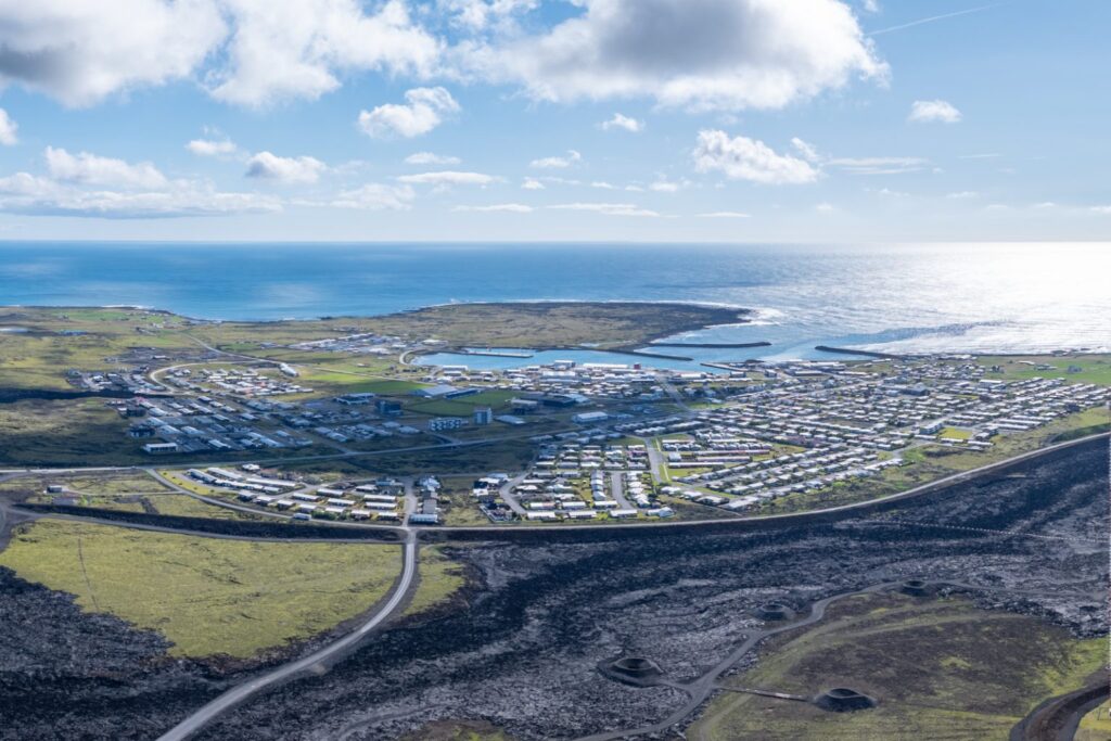
Surveying and Mapping
Technology is advancing fast, and mapping has rarely been more important than in the age of smart devices.
Verkís takes on all kinds of surveying projects related to construction and buildings, as well as consulting on mapping and the processing of geographic information.
Request a consultation